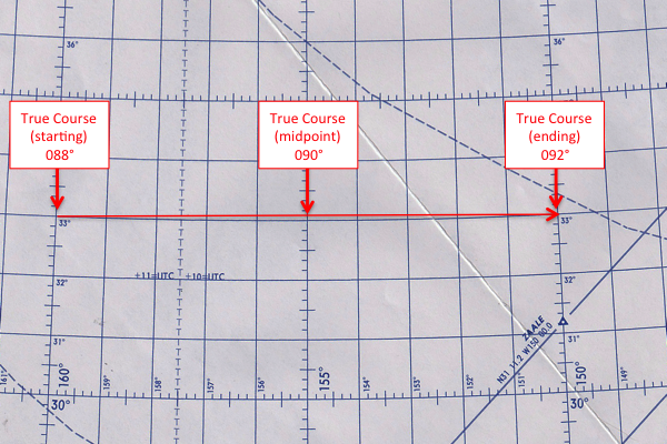
Your plotting chart is based on a Lambert Conformal projection, the lines of longitude converge near the poles. Except for the equator, the lines of latitude are not straight, they curve toward the equator. The measurement of your true course depends on where you place the center of your plotter and it does make a difference. In the figure shown, flying from 33°N 160°W to 33°N 150°W should, intuitively, require a 090° true course. The actual course, however, depends on what you want: the starting, mid, or ending course.
— James Albright

Updated:
2016-01-28
Why is this important?
- Most flight planning services offer either the starting or midpoint courses. Some pilots want to know what their initial course will be, others want the average course on the entire leg. It is a matter of personal preference. (I prefer using the midpoint course for plotting, since it gives you the most line for your plotter and gives you the easiest, most accurate plot. But I think it even more important to have a predicted magnetic heading at each waypoint to make sure the FMS is turning correctly to the next waypoint. So, life being full of compromises, we have our flight planning service use the starting course.)
- If you ever have to do a reroute you need to place your plotter at the point you expected in your computer flight plan, which could be the initial point. If, on the other hand, you are using 10 degree tables, you will be using midpoint courses and need to understand that when looking at your FMS. More about this: True Course 10 Degree Tables.
3
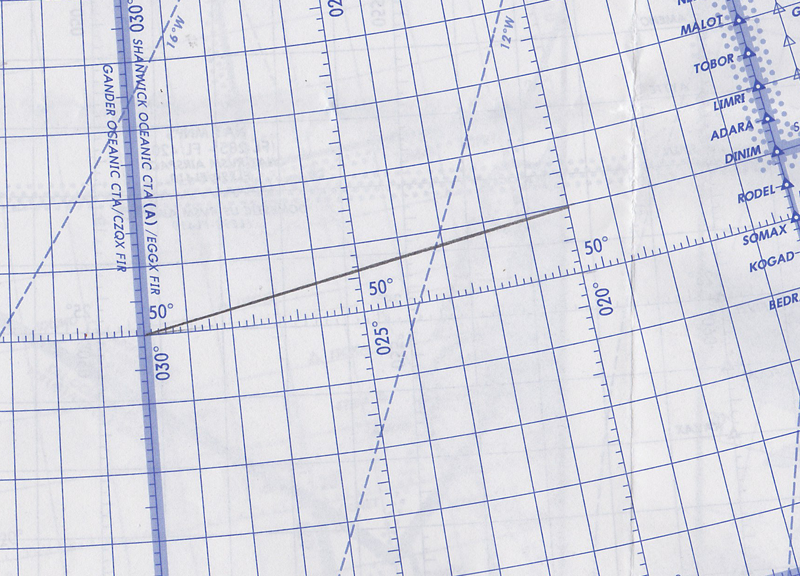
Example Midpoint course
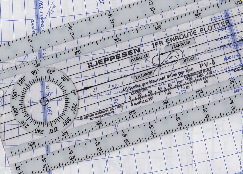
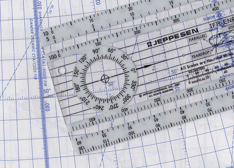
Placing the center of the plotter compass on the midpoint, 025°W in our example, we see the true course will be 081°.
We can check this mathematically using 10 degree tables at 50°N. See: True Course 10 Degree Tables / 50°.
